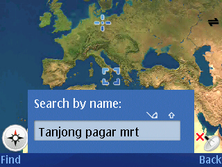
Oh just decided to blog about my phone today. Hmm, wow, life has been good eh, play with phone, go out, hmm, I wonder where that leaves studying. One of the cool software available on the current Nokia series platform would be Smart2Go, a mapping software released by Nokia. It has maps of many countries in the world, including Singapore. Alright, from what I see so far, the navigation is easily done by search and it works well and fast, since the maps are stored on the memory card.


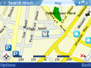
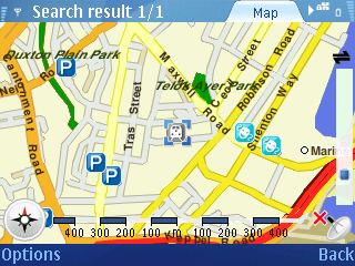
The software has a very Google-Earth styling, where it will fly around the globe before zooming down to your location, looks nice, functionally might be a bit slow though. Well, after searching for the place, it then brings you to the onscreen map display. Zoom and scroll options are still available. I guess the map might be a bit small but well, it shows me how I can get to the place I want!


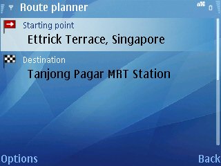
There’s also an included Route Planner where it does a turn by turn navigation coupled with voice if you have a GPS attached. There’s a simulation of that by setting a default speed for the car but I guess that’s not too useful. Well, the instructions ain’t bad and could be useful when I’m out and could be useful in determining how to get to a place I suppose. For now though, a bus guide might be more useful. :)


Well, erm, my take on it all? Navigation systems are getting quite plentiful, but this is firstly free and quite user friendly and the maps are definitely functional which is all good. It’s definitely one of the great software on the phone and well, ya, Singapore is pretty much easy to move around but a little backup isn’t a bad thing.
Sucks that you need a separate bluetooth GPS unit though.
